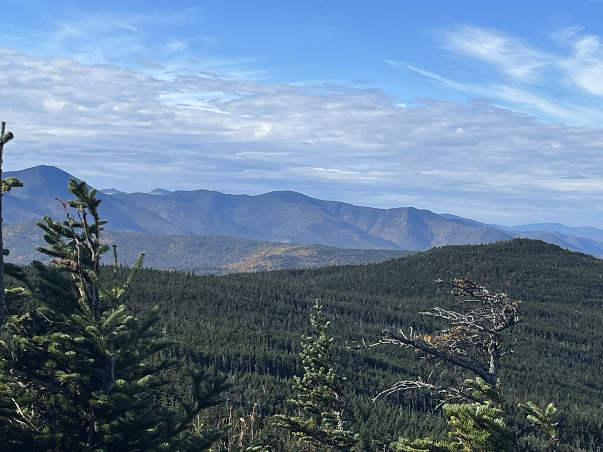
Mount Hale
Hale Brook Trail (and then some)
26May2022
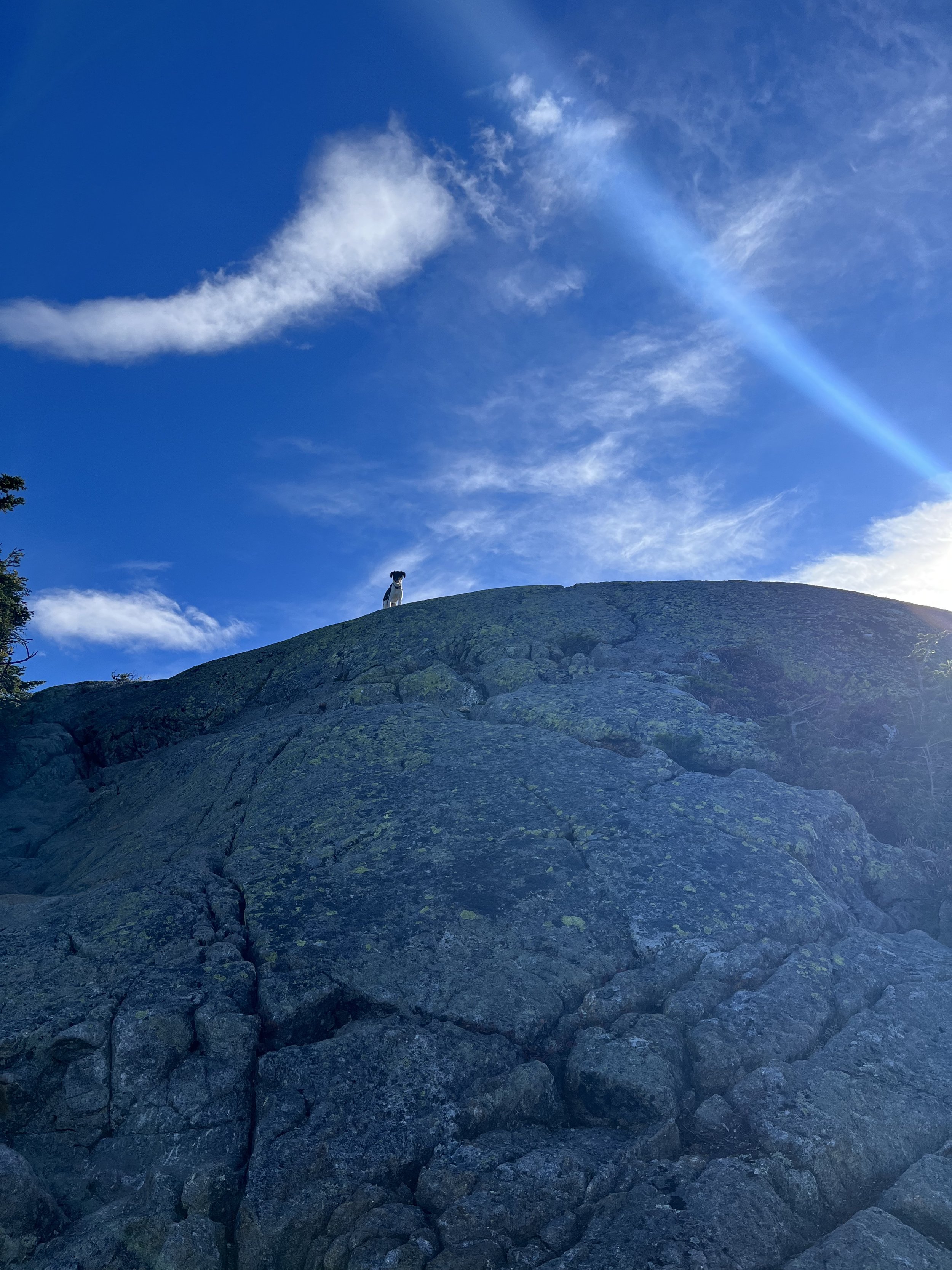
Myself, Kyle and Rocky (our dog) arrived at the Hale Brook Trailhead at 7:30am and there was one other vehicle in the parking lot. We immediately jumped onto the trail and were ascending our first NH48- 4000 footer by 7:50am. We chose this trail to be our first from reading other reviews and by word of mouth. The trail inclines almost immediately so we knew early on we were in for a fairly steep two miles or so.
After a few water breaks and viewing some small water features and a consistent incline we were about 1/10 of a mile from the summit. That definitely got us excited and a few minutes later(~9:45am) we popped out of the woods to a clearing with a huge rock cairn. That’s when things got a tad emotional for us. Can’t believe that ~2.5 years prior to achieving this milestone I was in a hospital bed recovering from a triple bypass. We did it!!! I jumped on to that huge pile of rocks and snapped a photo, one I will remember forever! I can’t tell you how special this was for me to be with my son, he’s given me so much confidence and it was just so cool to share this day with him.
After chatting with a gentleman at the top, we took his advice and decided to take the longer way down. He told us we would have a “short” walk back to our car once we reached Zealand Road. We took Lend-A-Hand Trail to Zealand Falls to Zealand Trail to Zealand Road. Finally we hit Zealand Road. We wound up walking over a mile back to our car at Hale Brook Trailhead but no amount of extra soreness or sweat was gonna derail the feeling we had that day. I would recommend this as an early 4k on the quest for 48 and would 100% do it again. The shorter route back down Hale Brook makes this a vert short hike but we like to make things difficult for some reason. If trying the way we went and knowing ahead of time just car spot at Zealand parking lot and Hale Brook Trail.
Mileage: 9.2
Duration: 5 Hours
.
https://www.alltrails.com/trail/us/new-hampshire/mount-hale-via-hale-brook-trail
Mount Jackson
Webster-Jackson Trail
Little did we know that Mount Jackson and Mount Webster would be this good of a hike. We started off at the Webster-Jackson Trailhead and began our hike around 7:15am.The trail starts off gradual and then it is a steady incline the entire way to the summit of Jackson. This hike has a fairly high amount of challenging terrain with rocks, roots and some very steep sections especially when nearing the summit. If you are lucky enough to get this on a good day, you are in for a treat. I would not hike this trail in bad weather or after heavy rainfall. There were Gray Jays galore and they were hungry. We had them eating Cape Cod chips and Goldfish out of our hands which was so cool. Just stay still, hold your hand out and the jays will land on your hand and eat. After hanging on Jackson for a while we started over to Webster on the Webster Cliff Trail which brings you directly to Webster’s summit. This trail is a little over one mile of easy terrain and you’ll be there in no time.
The views from both Jackson and Webster are incredible! We didn’t know what to expect from Webster but WOW! The view across the notch to Mount Willey was unreal. Be aware of steep drop offs and if you don’t love heights then don’t look down while at Webster. We had a sandwich over at Webster and started our trek down. We took the Webster Cliff Trail back out to join the Webster-Jackson Trail for the rest of our descent where we were presented with a beautiful cascade which ended an unbelievable day.
Total Mileage: 6.4
Duration: 5.25 Hours
Hike time: ~4 Hours
https://www.alltrails.com/trail/us/new-hampshire/mt-jackson-webster-loop
Mount Zealand & Mount Guyot
We had no idea what this day was about to turn into. We started out at Zealand Trailhead on Zealand Road at ~7:10am. The first section of this hike is mostly flat up until one steep but quick climb to Zealand Hut and Falls. This is a pretty cool portion of the hike so we took our time looking around the hut and snapping a few pics of the falls before starting the real ascent up to Zealand’s summit and an unreal surprise awaits half way up. Once you start up after the hut continue on the Twinway and the trail gets damn steep for a while and just as we were feeling like that part of the climb would never end we saw a sign for Zealand Cliff. HOLY SHIT! What a view from the cliffs and after gazing out off the cliffs for a few good minutes it was back to the Twinway and another 1.5 miles or so to the summit.
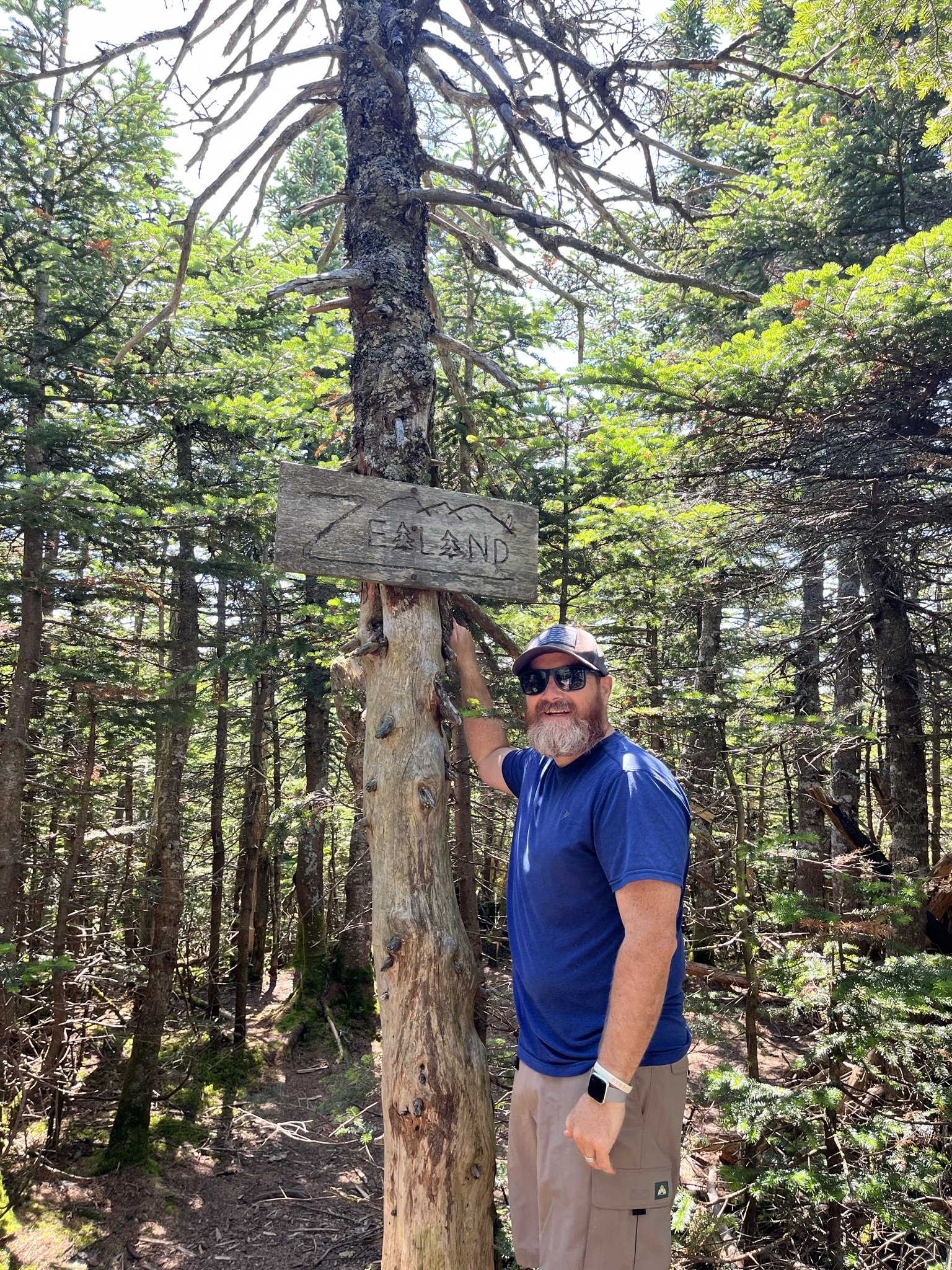
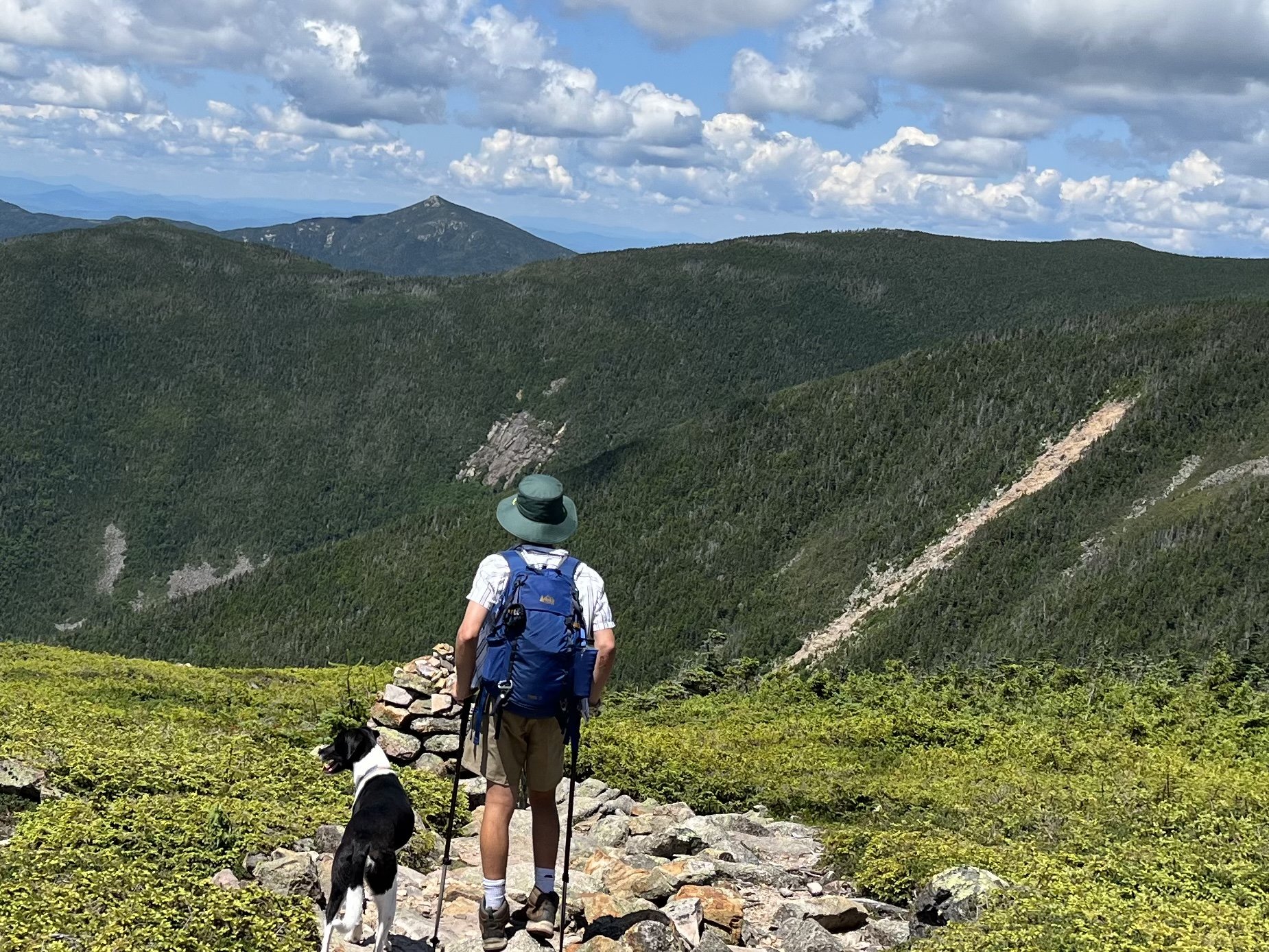
Finally!!! We made it to the wooded summit of Zealand after a sign stating summit 0.1 miles through another little wooded path. This summit has zero views but a cool summit sign and having the views at Zeacliff was worth the trek up. Again, snapped a few pictures and talked for a minute after seeing a sign for Guyot and we decided t go for it. Why not?We were feeling pretty good at this point and started the hike over to Guyot, mind you this is not an easy hike as we wound up hiking an extra 1.2 miles (add 2.4 back and forth) but once we popped out of the woods still on the Twinway it was worth it. We came out looking at the bare summit of Guyot in all it’s glory standing at 4560’. The summit is just off the Twinway between South Twin, Zealand and the Bonds. You can also see the Franconia Ridge from this summit which was amazing on this clear day.
As we started our hike back to Zealand and a long way from the carwe wre still all smiles but that didn’t last long. Our feet were killing us and the intense heat took over. The hike back from Guyot to Zealand is pretty difficult and did not help that we had already hike 6.5 miles but we got through it finaly making it back to the hut for one last break before the final “easy” two miles to the car. The best thing about this hike was that we had gotten a campsite dowm the road at Sugarloaf Campground where chicken, burgers and sleep awaited us!
Total Mileage: 13.2
Duration: 8 hours
Hike Time: No Clue!
https://thedyrt.com/camping/new-hampshire/new-hampshire-sugarloaf-i-campground
https://thedyrt.com/camping/new-hampshire/new-hampshire-sugarloaf-ii-campground
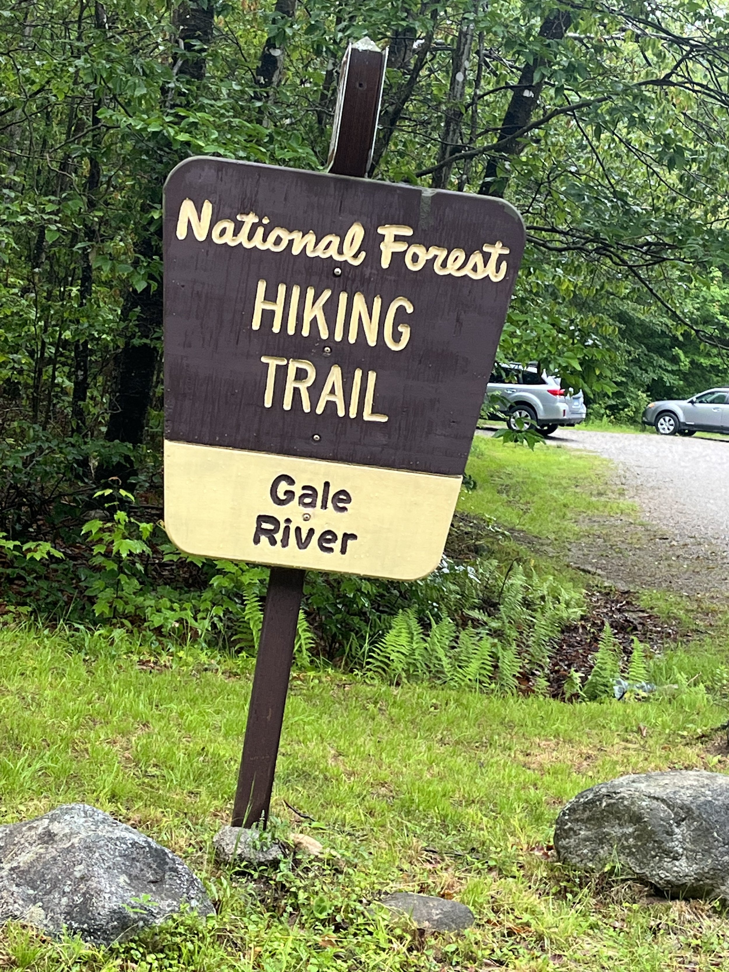
This was a good one to start 2023 especially after having a setback and getting a stent put in just three weeks prior to hitting the trail again. We started out at the Gale River Trailhead around 7am and started the 2.5 mile walk in. This is an underrated part of the hike as it is flat and wooded but you are walking next to the river for a good portion of it so there were good view points for that and also a ton of drinking water for Rocky so if you have a dog this trail is loaded with water. As we got about 2.5 to three miles in the trail starts to get steep and this will go on for about a mile or so. Still some good spots to view the river and take a break. After a strenuous mile or so you get a little break and then hit an intersection that is about 0.6 miles from the Galehead Hut. One more quick but steep section gets you to the hut where a break was needed.
We dropped our packs, had a quick drink and decided to hit the last 0.4 miles to Galehead summit. This is a very short and fairly easy hike up to the wooded summit with a small rock cairn. We snapped a photo or two and on our way back to the hut saw a sign for a “viewpoint” but there was nothing to see as it was rainy and foggy all morning so we laughed snapped a photo of nothing and headed back to the hut for lunch. The hut is a fantastic place (especially on a rainy day) to take a nice break and eat lunch so we did just that. We had to keep Rocky on the deck as there are no dogs allowed in the hut. We also got a free biscuit that was baked by the hut “croo” (yes that’s correct) and left over from the visitors the night before and it was delicious!! We then started our descent and saw a bunch more hikers coming up. This was around 10:45 and we were just hitting the steep middle section of the hike when we ran into a few AT through hikers and chatted with them for a minute. One from Jersey and the other Virginia. It always amazes me that these people do the Appalachian Trail in one 6-7 month period and I think it has to be literally one of the most challenging things mentally and physically a person can do. After the steep section there was just the three mile walk out which felt like forever but we finished #13 on our way to 48 and had a fun day. Like I said, in my opinion it is a very underrated hike.
Total Mileage: 10.3 miles
Duration: 7 hours
Hike Time: 5.5 hours
https://www.alltrails.com/trail/us/new-hampshire/galehead-mountain-via-gale-river-trail
Galehead Mountain via Gale River Trail.
Ammonoosuc Ravine Trail
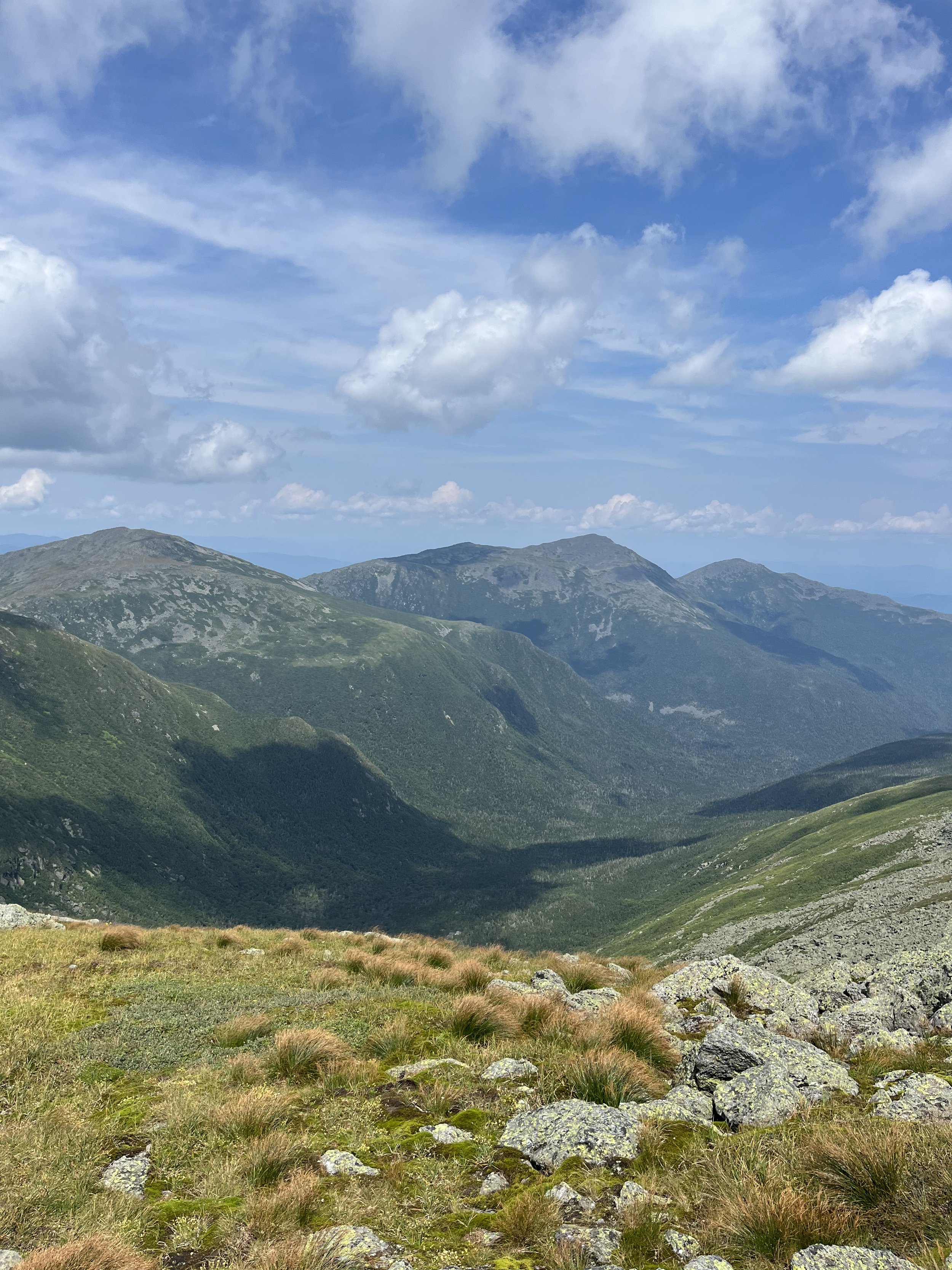
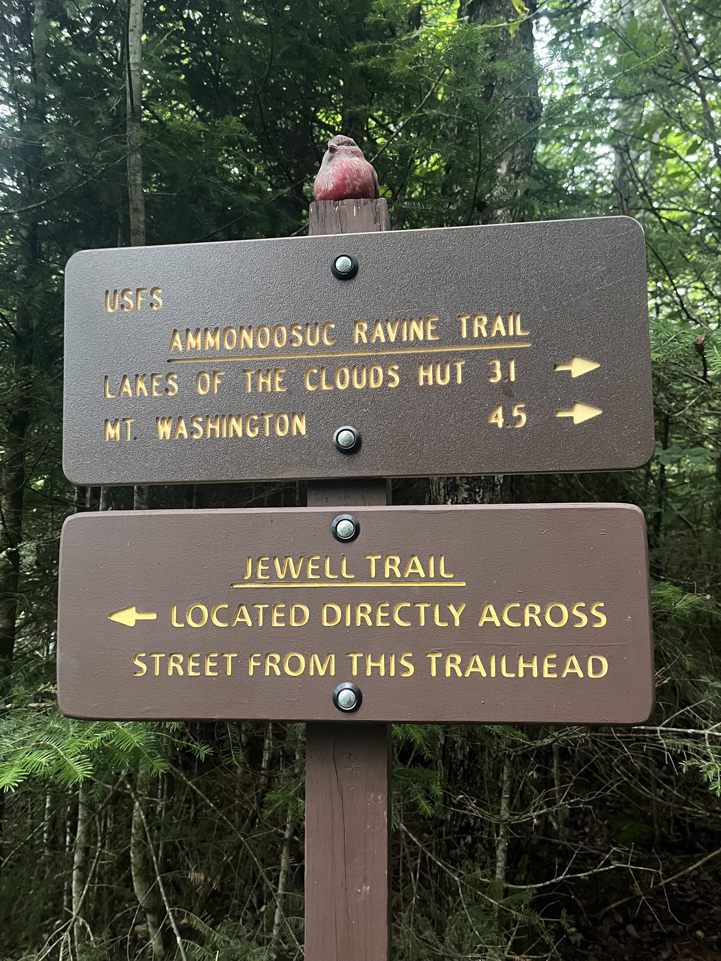
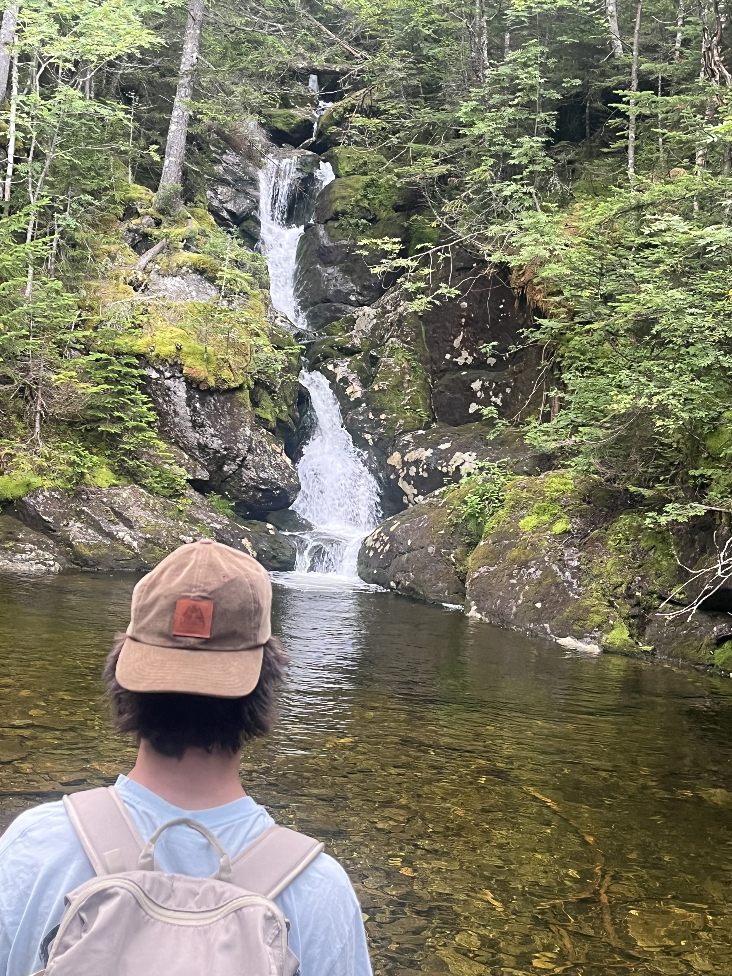
I will plead to anyone that has never taken this trail to Monroe or Washington to do so. This is just my opinion but DO NOT hike the Jewell trail instead of the Ammonoosuc Ravine Trail. This is literally the most spectacular trail we have ever hiked and one we will never forget. It has everything one would want in a hike. Waterfalls, a hut, fantastic views, both easy and challenging terrain.
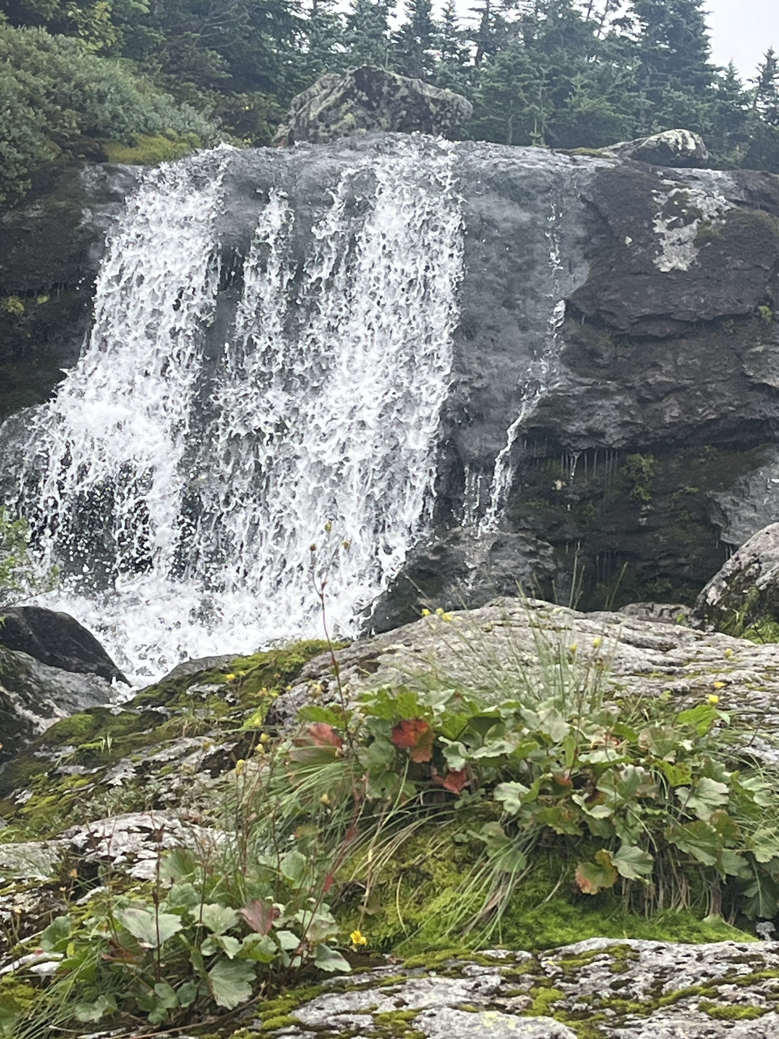
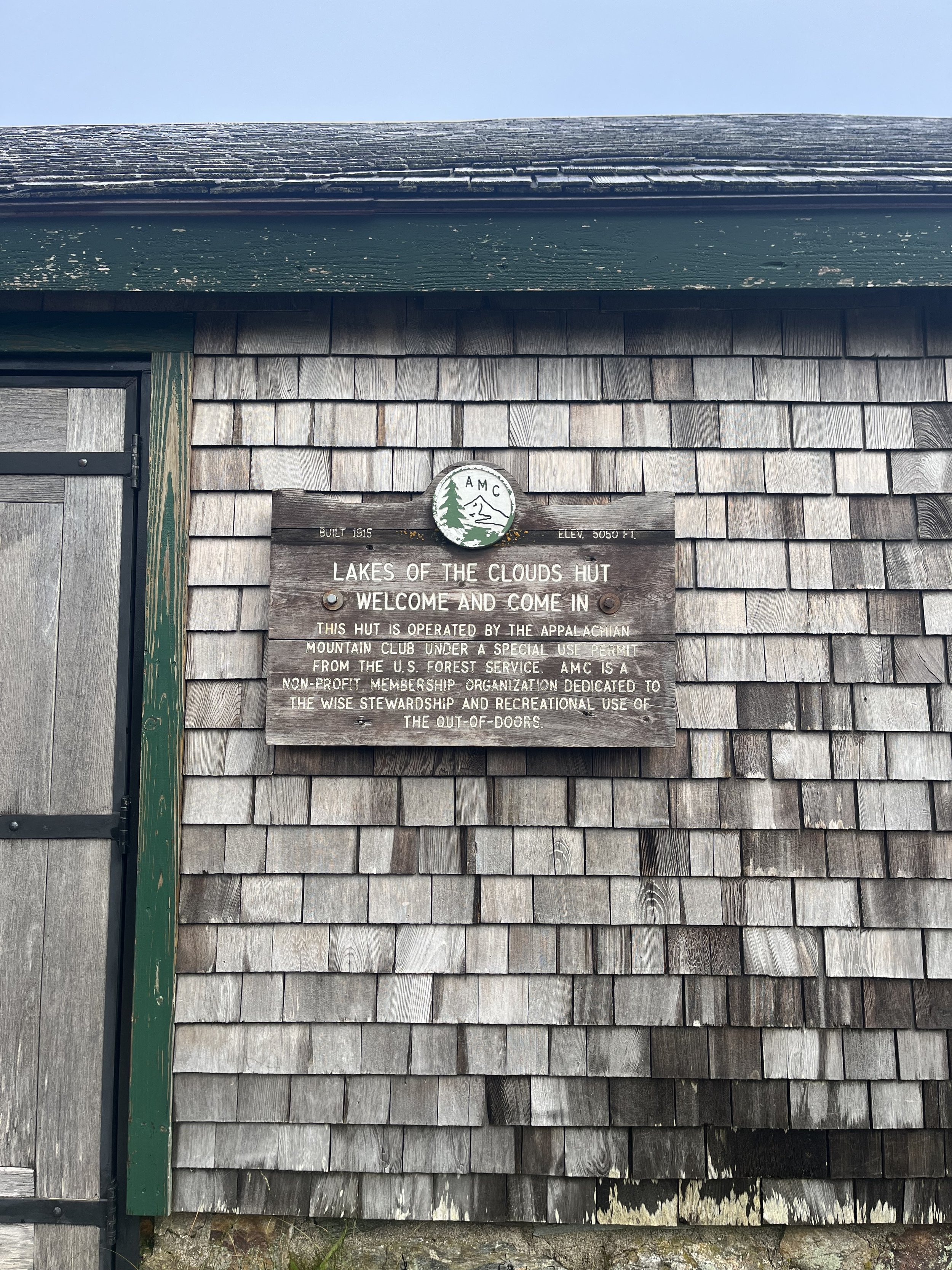
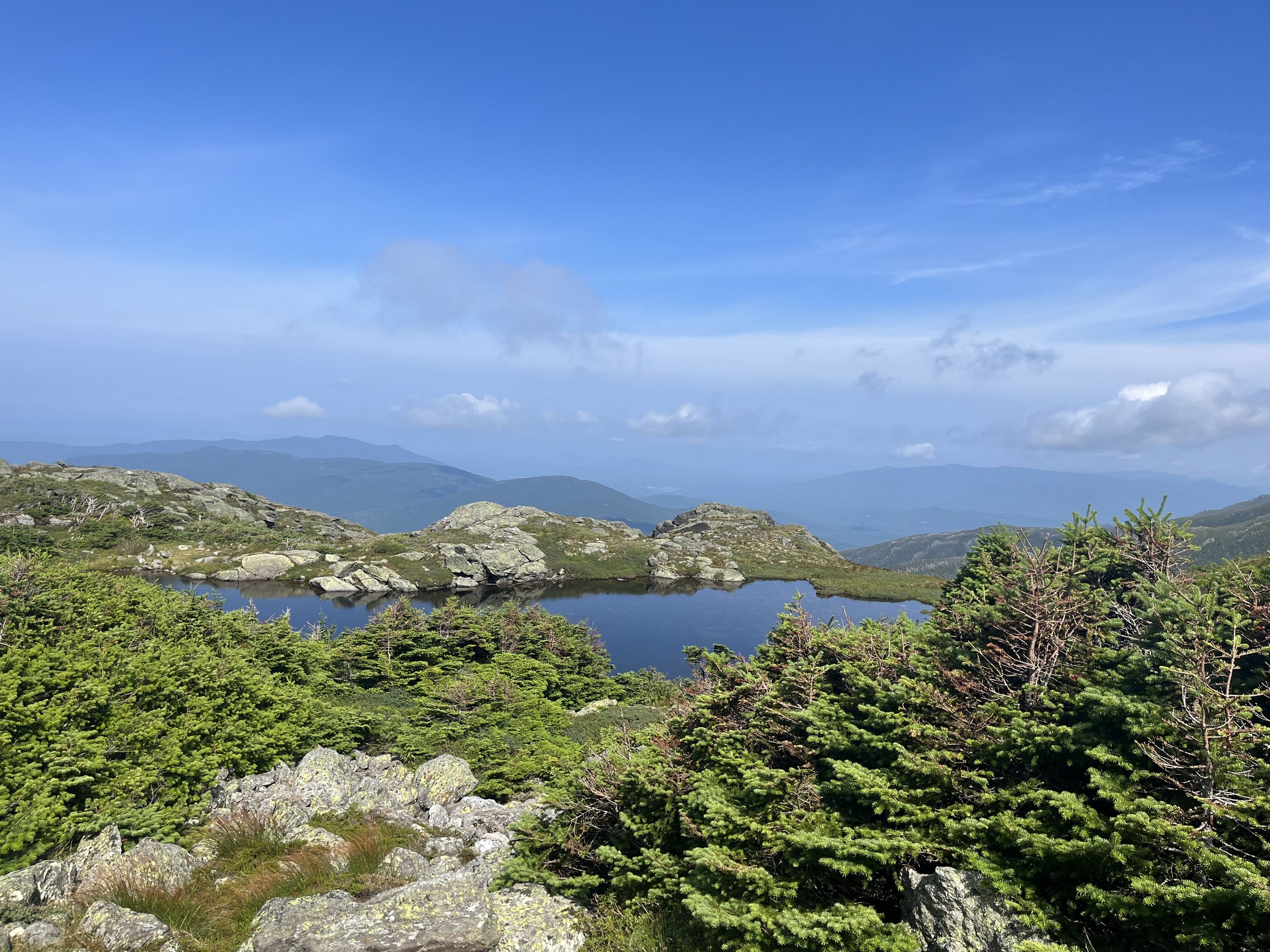
The trail starts off with a fairly flat first two miles but most of this is along the Ammonoosuc river. At two miles in you will reach Gem Pool which is an amazing scene. We took a break here and had a snack. After staring at the waterfall and pool for a few minutes we then continued our ascent. This is the toughest part of the trail as you will climb around 1400’ in a little less than a mile to reach the Lakes of the Clouds Hut which sits at 5050’. This stretch was by far the best of the hike with a bunch of waterfalls, big and small and open areas for unreal views of the whites. The last push is rock slabs and bouldering and we actually put the trekking poles away for most of this part.
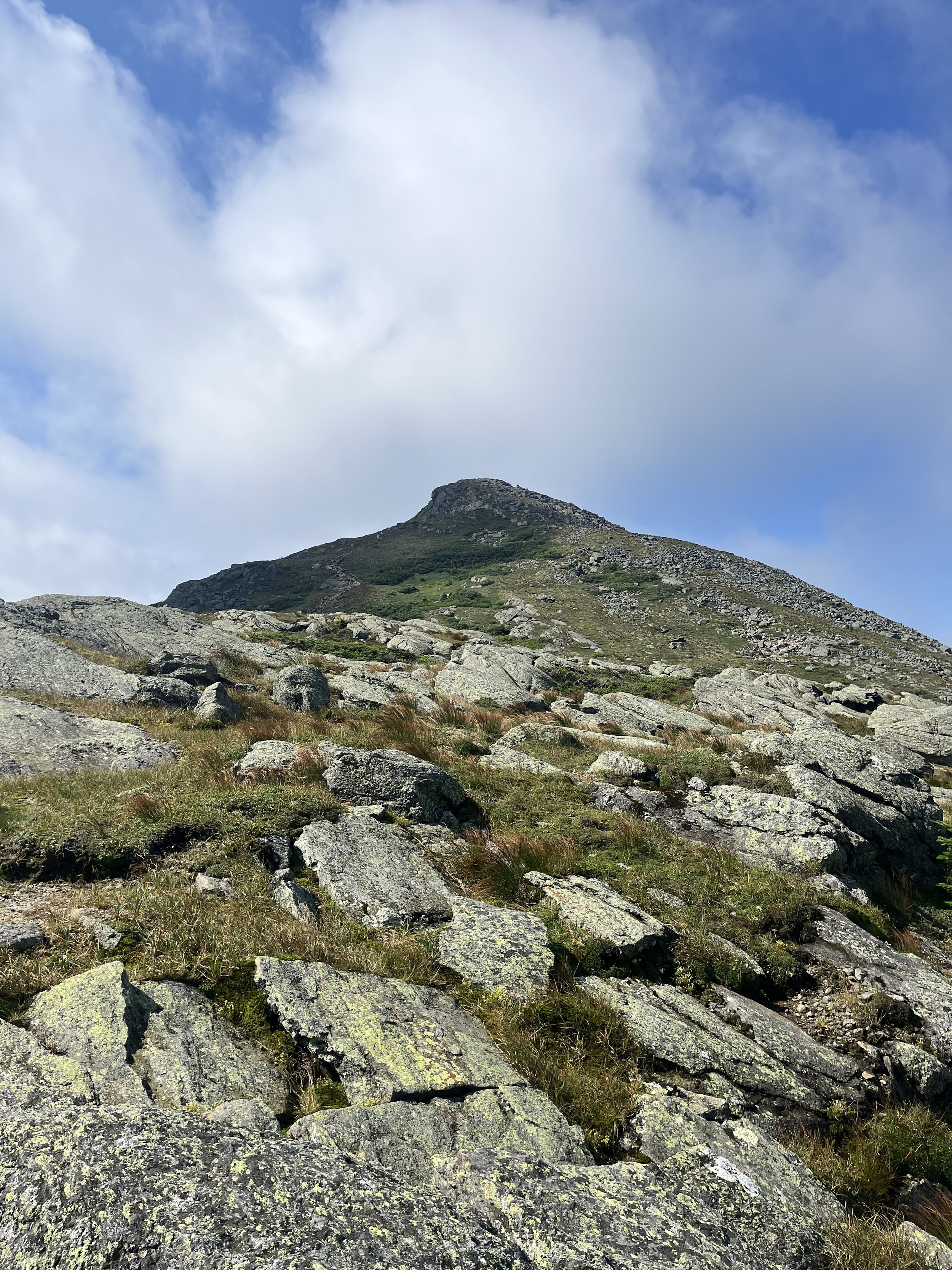
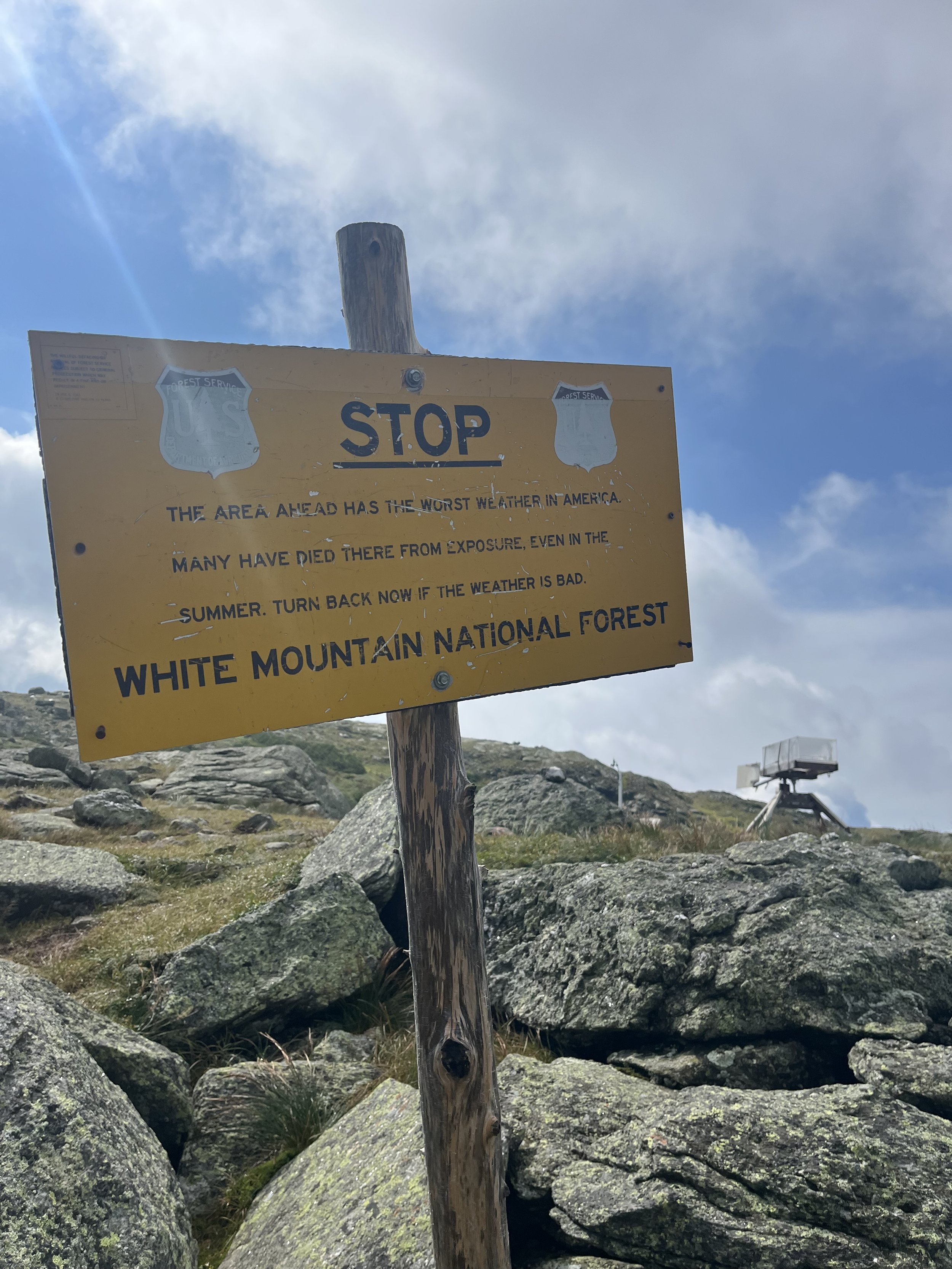
You will then see the hut and it’s definitely a cool spot to stop for a drink/snack before climbing the last 300’ to summit Mount Monroe via the Monroe Loop Trail. If you take the Ammo up to summit Washington do not make the mistake of not summiting Monroe as well. This was a really cool climb and also had spectacular 360 degree views of Washington and the surrounding Mountains. You get a view of Little Monroe, Eisenhower and all of the other Presidential mountains. To summit Washington (which we did) you will have to come back down to the hut and connect with the Crawford path. This was a strenuous 1.5 miles but obviously worth it. We also were lucky enough to catch this on a pretty clear day and with all the rain this summer the river and waterfalls were running hard so that just made it even better.
We did take the Gulfslide Trail to Jewell Trail down but I think if we did this hike again we would take the Ammo down even though it was steep as hell. The Gulfslide portion was unbelievable but then once you connect with Jewell Trail it changes, it’s just so long and you are on jagged rocks for a very long time. Don’t get me wrong, there was some nice views from here too but we just didn’t love it. This was a long day as we started at 6:15am and ended at 3:30pm. This is 4225 feet of elevation gain in 9.2 miles. We stopped a ton so hiking time was closer to 7.5 hours.
This was just one of those days when you just wake up and say, “I’m going hiking!” I love these unplanned trips over to the Whites and this day would be no different. Although the trek up to the summit of Mount Pemi is a short one the results are fabulous. You will start off in the parking lot of the Flume Gorge trail located directly off of Interstate 93, exit 34A to Route 3 (0.6 miles)
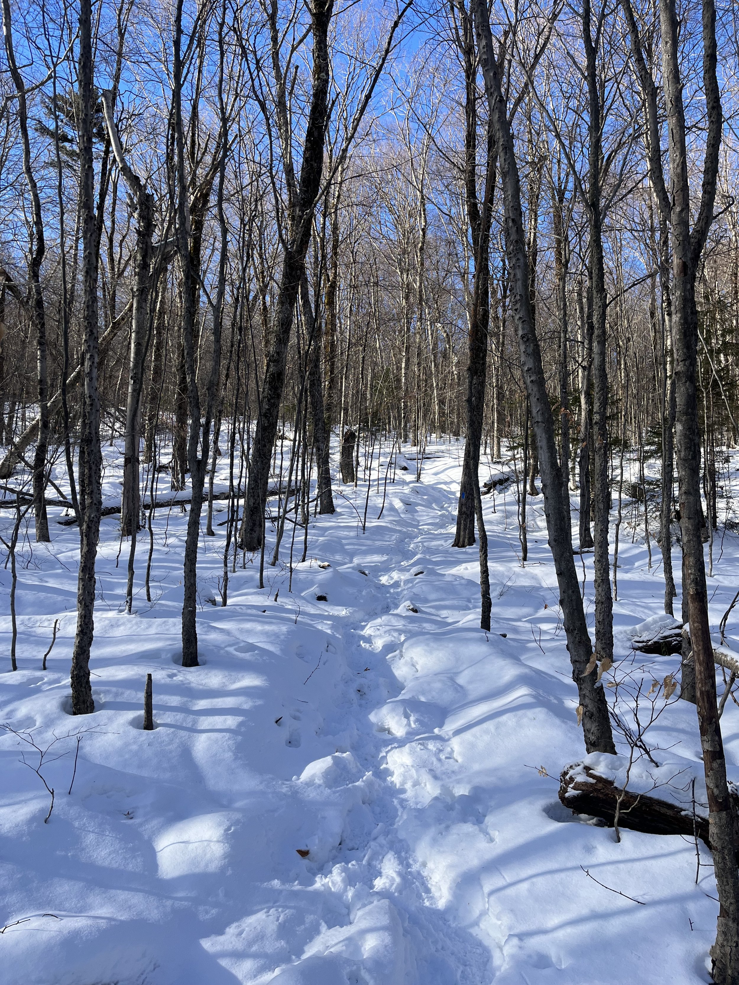
The hike starts off on a bike path then turns left to the start of your hike. You will enter/exit through three tunnels which go under the highway. Even though the trail starts next to the highway it doesn’t take long to feel secluded and know that you are in the Whites. The first mile rises about 600 feet in elevation and it’s just a cool looking narrow trail surrounded by mostly birch trees. Rocky (our dog) and myself were the first ones on the trail and wouldn’t see a soul until our descent.
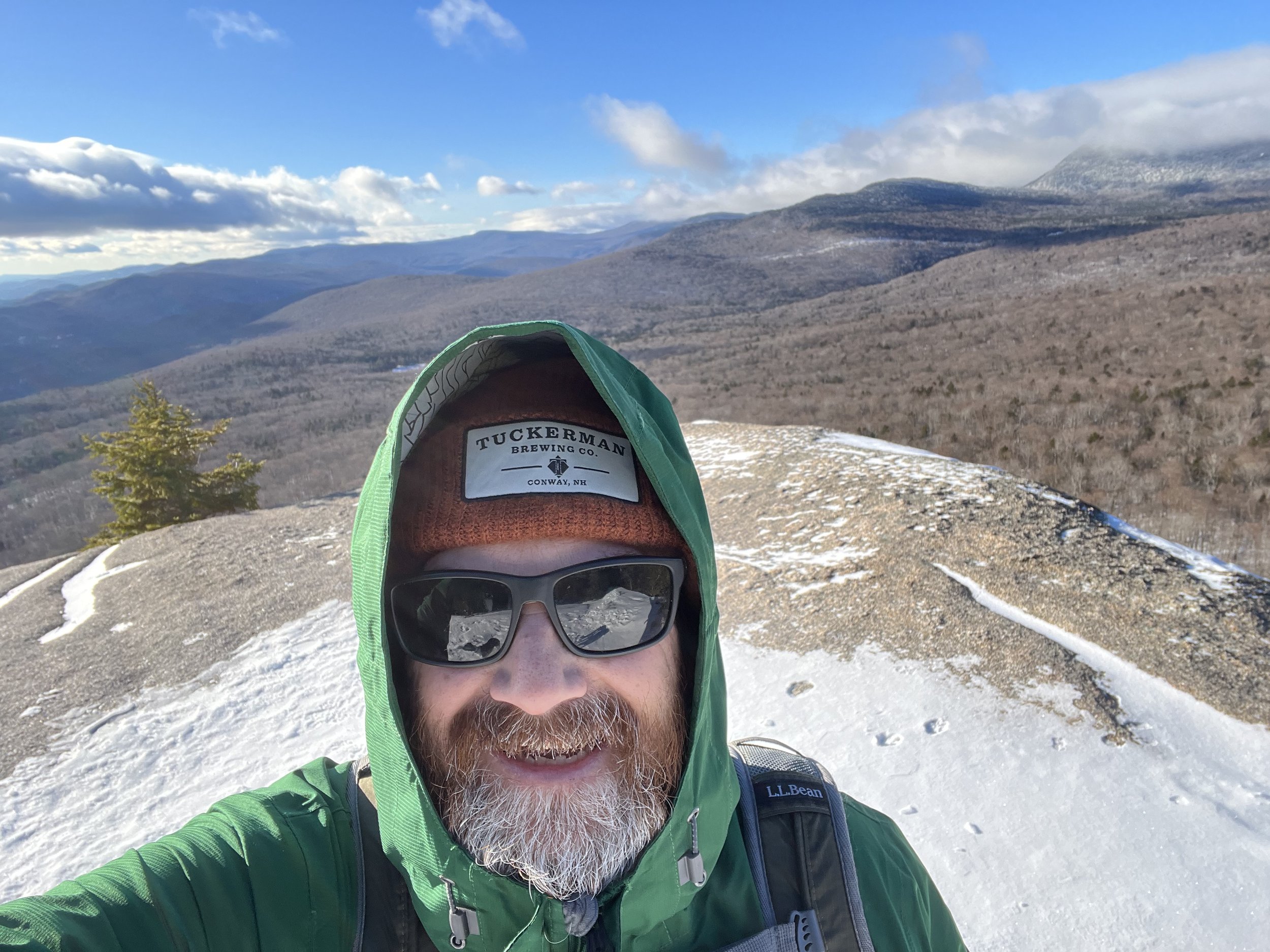
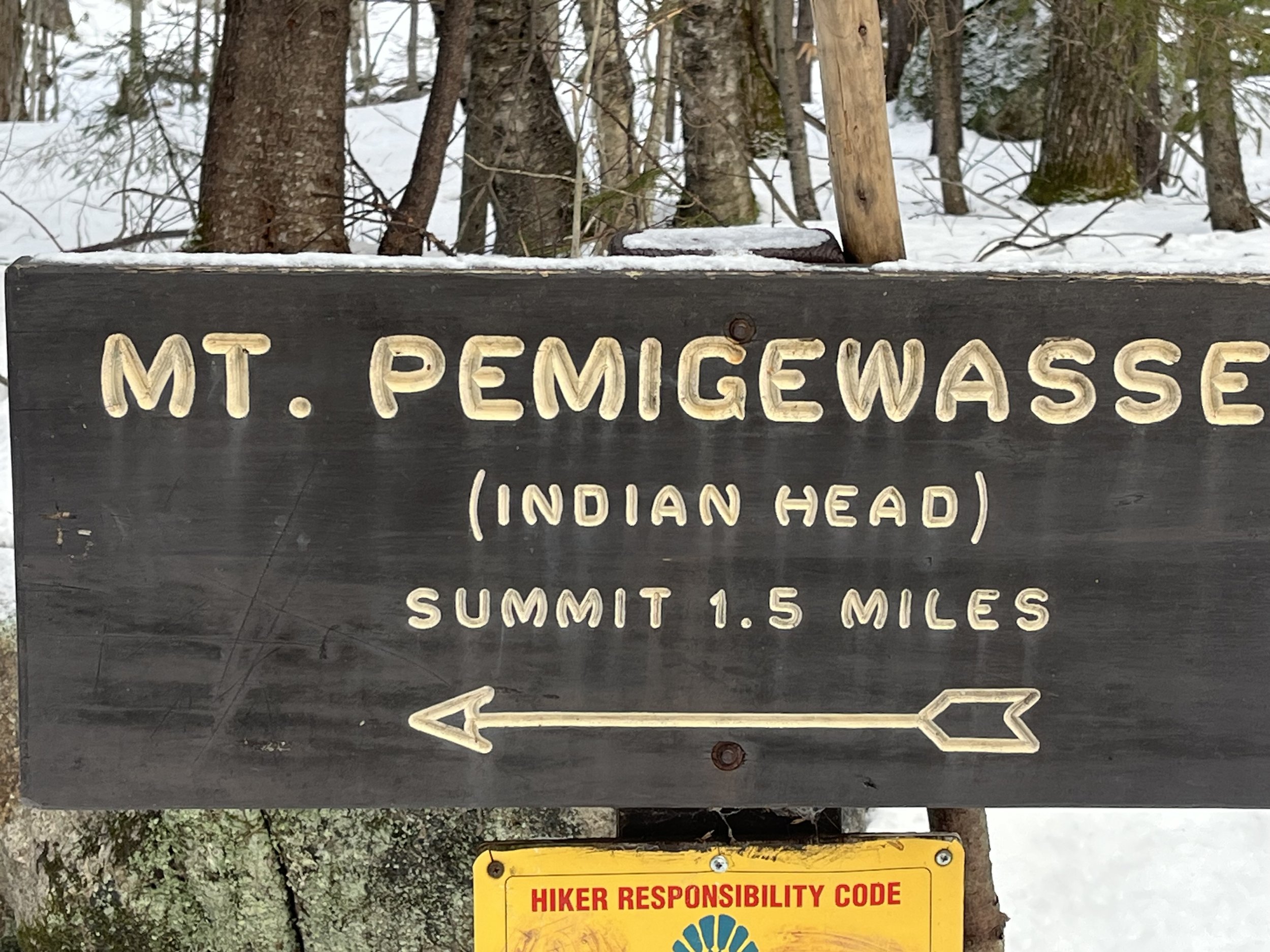
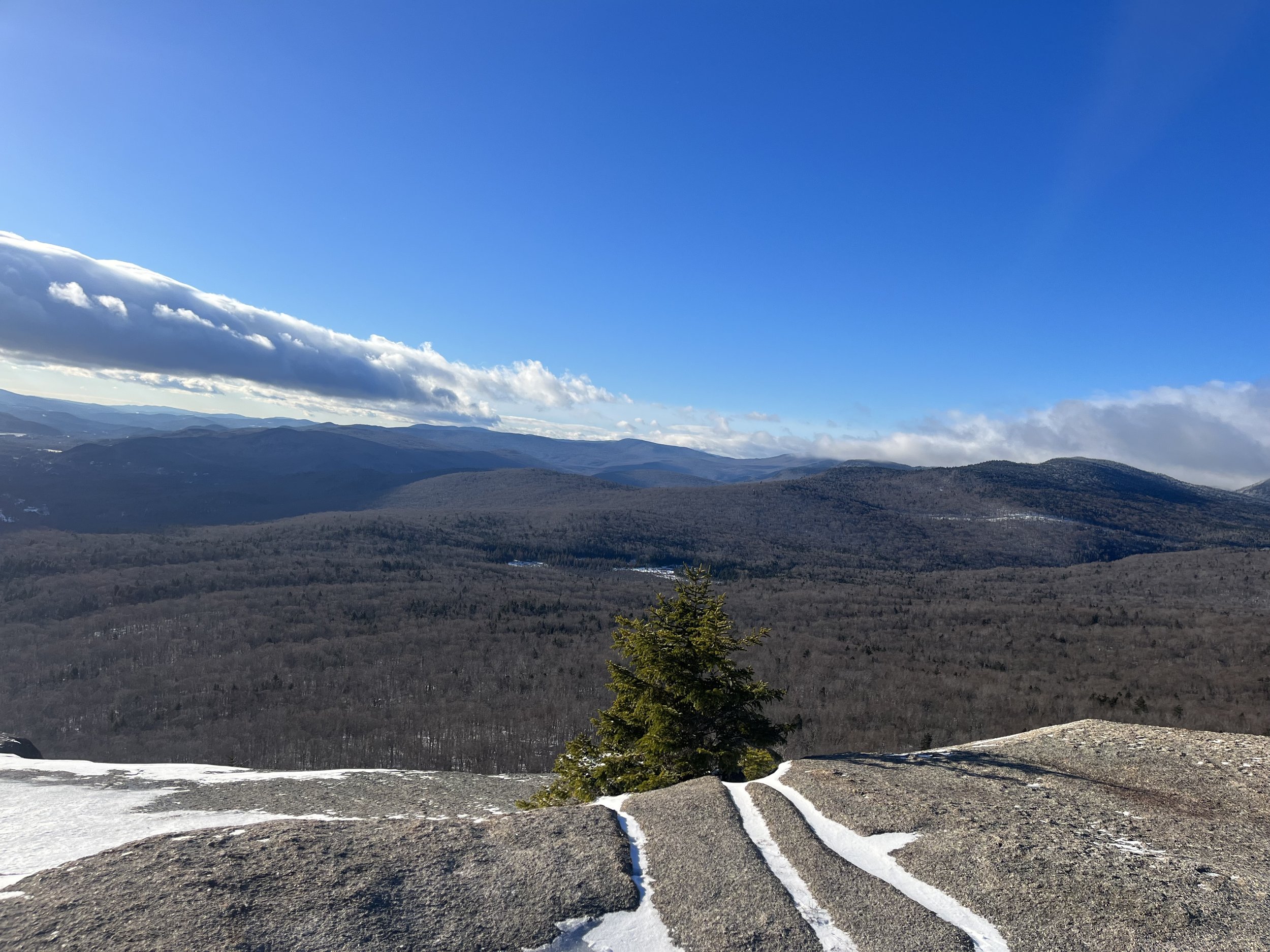
This is not a steep trail by any means but still gains about 1300’ of elevation in just two miles so it isn’t “easy” but it is a quick hike. After another mile and around 500’ of gain we were 0.2 miles from the summit. At this point there will be a junction of sorts that connects the Indian Head trail to the Pemigewasset trail for the final ascent. You could also take the Indian Head trail up which starts one exit south off of I93 (exit 33) and you can also jump on this trail if staying at the Indian Head Resort in Lincoln. This is a little longer and a tiny bit more gain but probably a cool trail nonetheless. After reaching a point where you can start to see a view, you come out to this great ledge where the view s become out of this world!
Took a few photos and videos, and started our descent down. This was an uneventful and quick descent but just so cool going down this birch covered forest trail. I highly recommend this trail whether you are an avid hiker or just starting out or simply just want to get out for some exercise and get that heart rate pumping then this is a perfect trail for you!
Mount Pemigewasset
Here a few photos of our hike up Mount Pemi!!
